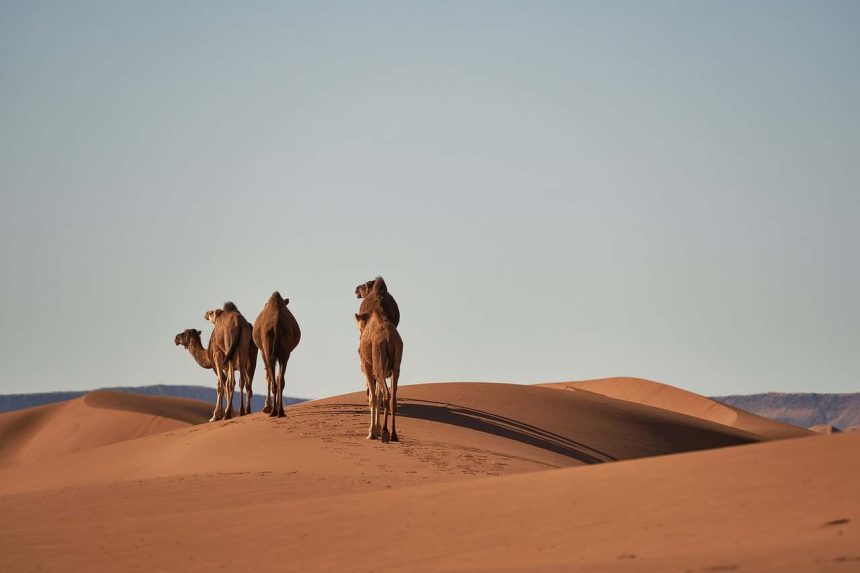
The Largest Hot Desert in the World: The Sahara Desert holds the title of the world’s largest hot desert, covering an astonishing area of approximately 9.2 million square (3.6 million square miles) kilometers. It’s known for its extreme heat, arid conditions, and vast sand dunes. Situated in northern Africa, it stretches from the shores of the Atlantic Ocean in the west to the Red Sea and Iraq in the east. The Sahara spans across several countries, including Algeria, Chad, Egypt, Libya, Mali, Mauritania, Morocco, Sudan, and Tunisia.
The Diverse Landscape of the Sahara
Contrary to the common perception of deserts being just vast expanses of sand, the Sahara’s landscape is quite diverse. While one-third of the desert is filled with towering sand dunes, the remaining area consists of rocky plateaus and plains. These rocky regions add to the desert’s rugged beauty, creating a varied terrain that is both challenging and mesmerizing.
Rich Resources Beneath the Sands
Beneath the arid surface of the Sahara, there lies a wealth of natural resources. In certain areas, deposits of natural gas and crude oil have been discovered. These resources are now being extracted and exported to other countries, highlighting the economic importance of this vast desert. However, the Sahara’s history is even more intriguing, as it was once covered with snow.
A Snow-Covered Sahara: The Geological Past
It may be hard to believe, but there was a time when the Sahara Desert was blanketed in ice. The first evidence of this icy past came to light when geologists discovered signs of glaciers—massive ice formations—on the rocks of the Algerian desert. According to scientific calculations, this ice-covered landscape existed around 450 million years ago when the Sahara was located near the South Pole.
The Changing Earth: From Pangaea to Present
The Earth’s continents have not always been in their current positions. Due to the mobility of the Earth’s inner layers, the continents have drifted over millions of years. Around 200 million years ago, a supercontinent known as Pangaea existed, where all of today’s continents were joined together. As these continents drifted apart, they eventually formed the landmasses we recognize today. By studying the rocks found in the Sahara, geologists have determined that this region was once situated near the South Pole, leading to its icy conditions.
The Ordovician Period: A Glimpse into Earth’s History
The period during which the Sahara was covered in ice is known as the Ordovician period, a significant era in Earth’s geological history. During this time, North Africa was part of the ice-covered region of the South Pole, while the equator passed through what is now modern North America. This fascinating history of the Sahara offers a glimpse into the ever-changing nature of our planet.
Conclusion: The Sahara’s Evolutionary Journey
The Sahara Desert, with its vast expanse and rich geological history, is a testament to the dynamic forces that shape our Earth. From being a snow-covered landscape near the South Pole to its current status as the world’s largest hot desert, the Sahara’s evolution is a remarkable story of change and adaptation. Today, it stands not only as a natural wonder but also as a source of valuable resources, contributing to the economies of the surrounding regions.


